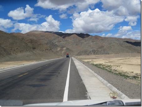
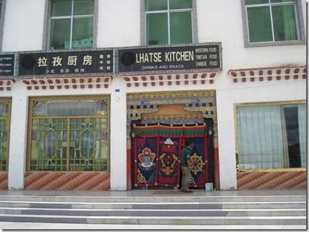
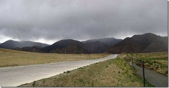
Friendship Highway was a two lane road through miles and miles of open, mostly uninhabited landscape. I was never bored with it, though the closer we got to Everest the more we all wanted to finally be there. The Friendship Highway splits into two routes at Lhatse and that’s where we stopped for lunch.
Our lunch stop was the place of David’s famous tiny yak burger.
The huge parking lot at this complex was empty except for one other car of tourists. They were also the only other people eating here. Locals ate elsewhere. Good thing my cheese naan and yak chili were filling because it would be 9:30 pm before we ate dinner!
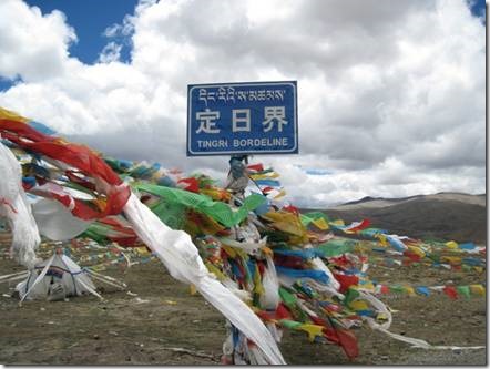
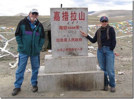
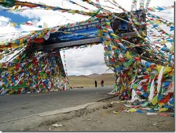
Tingri is both a town and county in Tibet and the highest point on our trip, higher even than Everest Base Camp.
17,217.84776902887 feet above sea level.
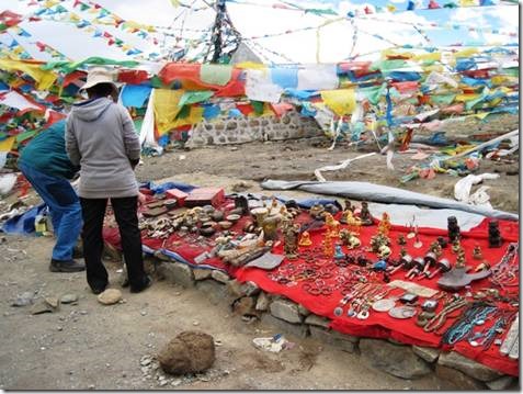
Thousands of prayer flags were hung from this sign. I imagine that being so high makes it a holy place ideal for hanging a prayer.
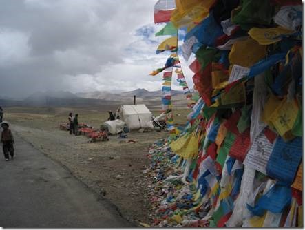
There were folks selling souvenirs or “photos” and probably living in that tent. Notice the little boy in the white hat at the left of the photo.
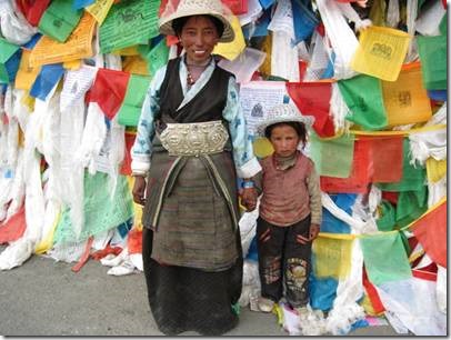
I just didn’t have the heart to say no so I paid to take a photo and then she asked for more money because there were 2 people in the photo. Then I did say no though they don’t have many other ways to earn money and at least it wasn’t begging. She made an effort to dress for photos with that huge silver belt.
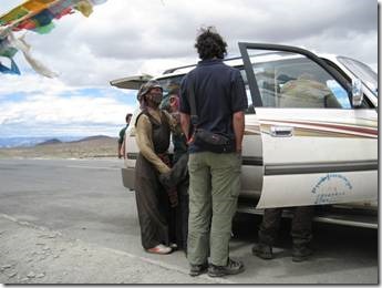
This woman was asking for money.
Most of the time we all just learned to say no. I had bought a bag of candy in Shigatse and did start giving it to the children who asked for money.
Randal looked at the souvenirs but didn’t buy.
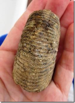
My souvenir.
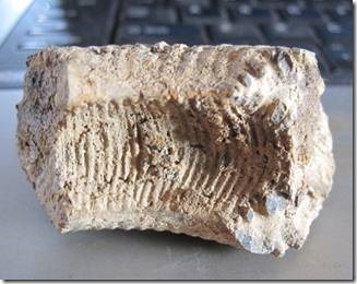
I picked this up from the ground at Tingri thinking it was just a broken piece of molded concrete. Ronnie looked at it and he said he thought it was a fossil. Originally the area was underwater until India bumped into Asia and caused the uplift that are now the Himalayas. It might be an ammonite? Or it’s a piece of concrete.
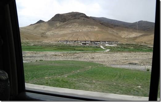
We continued on seeing green fields interspersed among the mostly desert.
Sometimes small communities, not really towns, would be located where there were water sources.
On the left side of the highway you can power lines which seems quite amazing.
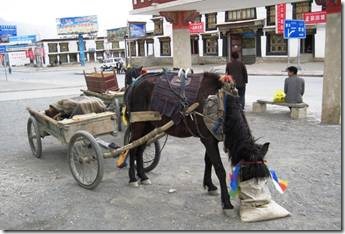
We stopped for petrol in this small town where we saw the original form of horse power also refueling.
In many parts of mountainous, unpaved Tibet horses are still the main means of transportation. The towns that do exist are very tiny and you can drive through in about 2 minutes.
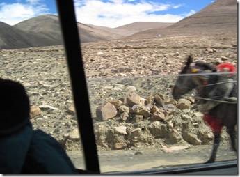
We were just about to pass another pony wagon as I took this photo. You can see how rock strewn the ground is and we saw this for miles and miles.
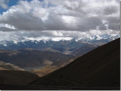
Finally we were able to catch our first glimpse of Everest off in the distance with its summit in the clouds.
Next email lots of Everest photos!
Ru
DoraMac
7/21/2010

