Merhaba,
We just had a lovely, all to short visit with Pam and Dave Zack. They were also participants on the Odyssey 2000 ‘Round the World Bicycle Ride. They have been touring Turkey (by bus) and stopped to visit us here in Marmaris before heading on to Fethiye, Antalya, and then Cappadocia before flying home from Istanbul. I think in a few weeks they’ve seen almost as much of Turkey as we have! Tonight is a special birthday event for Joan who will be 88! So my next email will probably be that story before we continue on with discovering more about Hittite Turkey.
Ru
ISTANBUL – Hürriyet Daily News
Istanbul’s Yapı Kredi Cultural Center has opened a new exhibition on Hattuşa, inviting viewers to dig through the history of the past 100 years of archaeological excavations at the ancient Hittite capital in northern Turkey.
The unpublished photographs that form the backbone of the show were gathered with the aim of painting a historical, ethnographical and sociological panorama of the whole excavations process from 1906 to 2012.
The roots of the show dates back a year ago to when archaeologists and excavation heads working at the German Archaeological Institute (DAI) started to scan an archive of the Hattuşa excavation. The artistic and scientific consultants of the show are DAI archaeologist Jürgen Seeher, the former excavation head at the site in Boğazköy in Çorum, Ayşe Baykal Seeher, as well as the present excavation head, Andreas Schachner. The exhibition opens with an excavation site simulation installed at the entrance. On the right-hand side, the walls in the corridor bear panels showing a chronological timeline of the excavations in the region and introduce the chief archaeologists in charge, like Osman Hamdi Bey, the famous Ottoman Orientalist painter known for his “Turtle Trainer,” as well as the founder of the Istanbul Archaeological Museum.
The corridor makes a curve to the left-hand side of the opening installation, taking a detour through the history of the excavation not only via photographed panels but also via a display of plans, sketches, maps and rulers or similar measurement devices from the past that played a significant role in unearthing the remnants of one of the most powerful ancient Anatolian states.
The discovery of Hattuşa
The name of the Hittites, who established a great empire in Central Anatolia in the second millennium B.C., was almost completely erased from the memory of humanity because their name did not appear in sacred books unlike many civilizations of the ancient Near East. The civilization was partly rediscovered by French researcher Charles Texier, who came to Boğazköy in 1834, publishing the results of the first explorations there in 1839. The plans and drawings in that publication elicited great interest in the archaeological world.
Many explorers and scientists came to Boğazköy for investigations in the 19th century. During these investigations, the first plans of the city were drawn, the first photographs of Boğazköy and Yazılıkaya were taken and several small-scale areas were excavated. Cuneiform tablet fragments, which were sporadically found and brought to Müze-i Hümayun (Royal Museum), as well as the discovery of rock reliefs in Yazılıkaya that were unlike anything known until then, established the existence of an important culture at Boğazköy.
The first traces of settlement in the area of Hattuşa, which has been continuously settled since its
founding, are in the form of small, short-lived village settlements that are found in the areas around Yarıkkaya, Büyükkaya and Çamlıbel Tarlası. Although the rocky, steep hills of the area seem unsuitable for settlement, the location – which is sheltered by deep valleys on either side and with many natural water sources –played an important role in the long urban development of Hattuşa.
In its northern reaches, the city included a settlement of Assyrian merchants from northern Mesopotamia in the 19th and 18th centuries B.C. It developed like many other Bronze Age cities and shows oft-found characteristics in its architecture and urban layout. The name “Hattush,” which means “silver” in Sumerian, is encountered on cuneiform documents for the first time in this period. The name
of the city is thought to be probably associated with silver trade. October/15/2012
http://www.hurriyetdailynews.com/history-of-hattusas-excavation-on-display.aspx?pageID=238&nid=32392
We started the day in Boḡazkale at the Yazilikaya Rock Temple
|
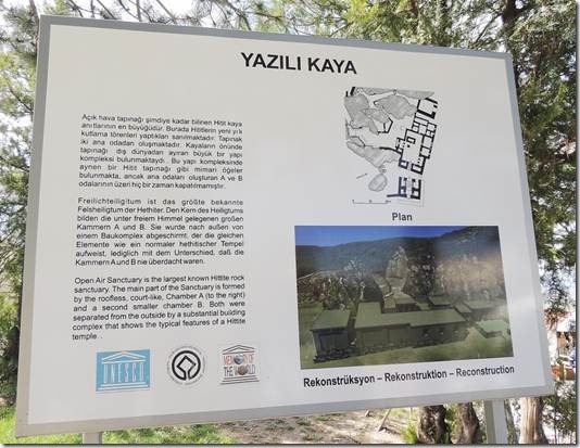
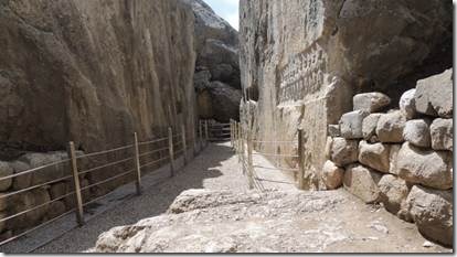
“Located a short distance from Hattusas, Yazilikaya (the “inscribed rocks”) was the official temple and sanctuary of the Hittite empire. It consists of several rock-cut chambers carved around a large rocky outcrop possessing two large alcoves and an open-air sanctuary. Both alcoves contain reliefs of Gods and Goddesses in a parade, all appearing by profile. It is possible that some of the smaller alcoves were used for burial of the deceased Kings, and that the whole sanctuary was therefore a funerary monument built to celebrate some Royal ancestors.” http://unchartedruins.blogspot.com/2012/08/in-hittite-lands-yazilikaya-and-alaca.html “The rock sanctuary of Yazılıkaya ( = rock with writing) lies nestled between rock outcroppings at the foot of the high ridge east of Hattusha. In contrast to the temples within the city, the two rooms of this sanctuary (Chambers A and B), hemmed in by natural rock faces up to 12 m high, lie open to the skies. Although the site has been in use since the 15th century BC at least, not until the 13th century did the long procession of gods and goddesses take their place here, chiseled onto the rock faces by Hittite sculptors. It apparently represents the "House of the New Year’s Celebration," a House of the Weather God where festivities were held to honor all the pantheon at the coming of the New Year and the beginning of spring.” http://www.hattuscha.de/English/yazilikaya.htm |
|
Largest known Hittite Rock Sanctuary |
|
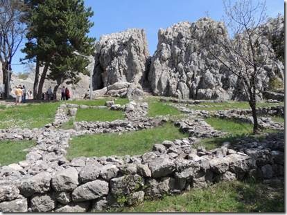
Chamber A entrance is the dark area to the right of the tree and Chamber B on the right cut into the rocks with the V of blue sky overhead. |
|
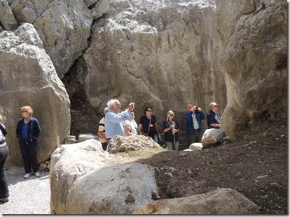
Chamber A “On the left side we have male deities (with two exceptions); on the right, female. They all face the opposite end of the chamber, towards which they appear to be slowly progressing; and there, indeed, is the climactic tableau: as leaders of the holy procession, the two supreme divinities, the weather god and the sun goddess greet one another.” http://www.hattuscha.de/English/yazilikaya.htm |
|
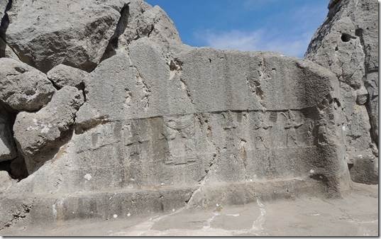
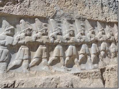
The relief sculpture in the small chamber B is much better preserved because the chamber was partly filled with earth and remained unexcavated until the mid 19th century. http://www.hattuscha.de/English/yazilikaya.htm Chamber B Relief of the 12 kings “On the wall immediately to the right of the entrance was carved a line of gods of the Underworld. They wear shirts, belts, short skirts and shoes curling up at the toe. They each carry a crescent-shaped sword flung over the shoulder, and the horned pointed hats that identify them as divinities.” |
|
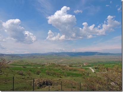
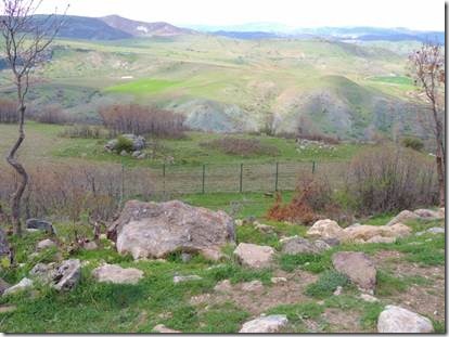
View of the countryside below. It was an absolutely picture perfect morning and the landscape was beautiful. |
|
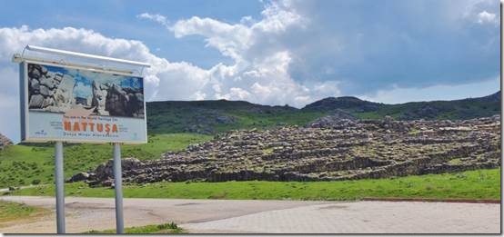
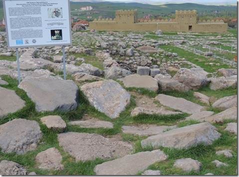
Our second stop was Hattuṣa (spelled various ways) and the remains of the Great Temple that, at this point is mostly a stone outline of what must have been and reconstructed Hittite City Walls. |
|
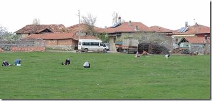
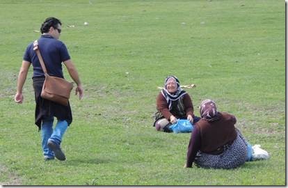
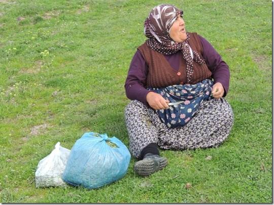
We saw these women off in the distance and some of us were curious. Taṣ asked and it was some kind of tiny leaf they made him eat; but he survived without growing larger or smaller; so I guess it was okay. So cute! |
|
Lower City Remains of the Great Temple and reconstructed Hittite City Walls “With this project, some 65 meters long, segments of the mud brick city walls of Hattuṣa were re-erected as of 2005. Three wall segments 7 to 8 meters high, along with two 12 to 13 meters high towers were re-constructed.” Çorum Guide from the Ministry of Tourism |
|
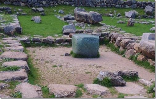
The green cubic stone at Hattusa was probably a gift to the later Hittite rulers of the city from the Egyptian pharaoh with whom they signed a peace treay in 1258 BC http://www.historyfiles.co.uk/KingListsMiddEast/AnatoliaHattiHattusa.htm |
|
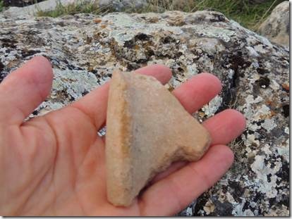
It was a lovely fragment of some type of vessel but I left it behind…which was not only the moral thing to do but the legal thing to do. It’s illegal to take “antiquities” from Turkey. This shard might have been a year old or a thousand years old. |
|
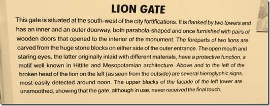
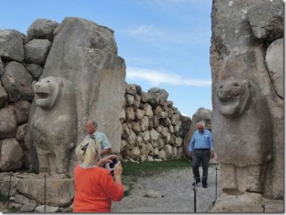
Our next stop was Lion Gate I believe one lion has been reconstructed and the other untouched. According to the Çorum Guide the hieroglyphic inscription on one side of the lion still has not be deciphered except for the last word which means gate. |
|
Mark and David walking forward; Patricia taking a photo. |
|
More beautiful countryside with other sections of the Hittite complex. |

